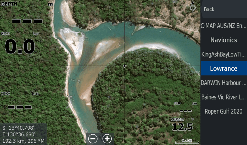
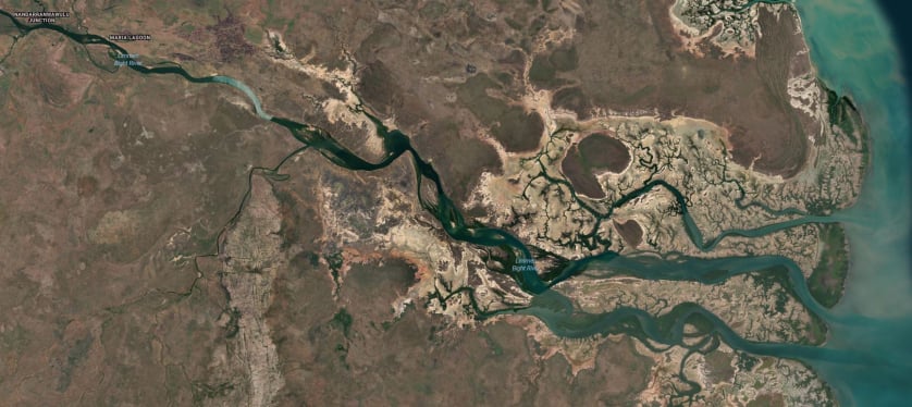
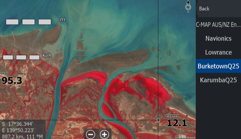
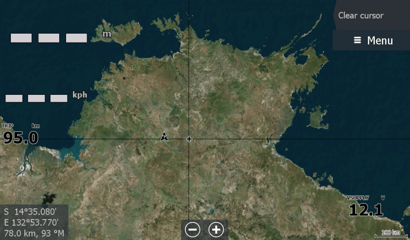
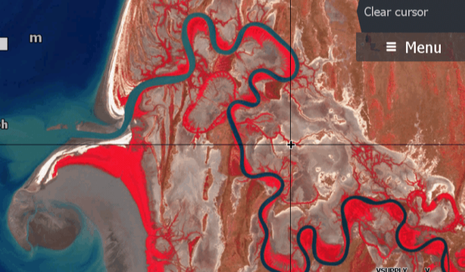
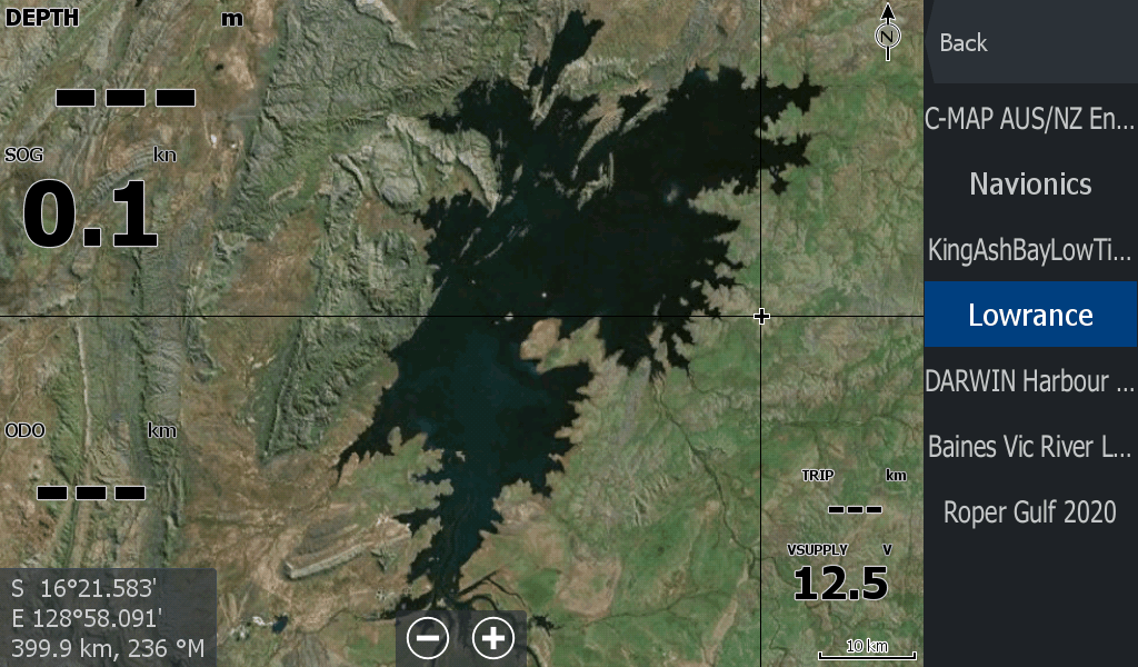
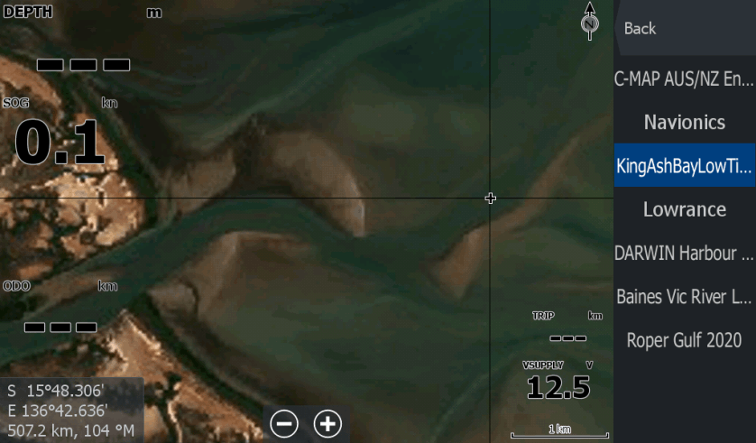
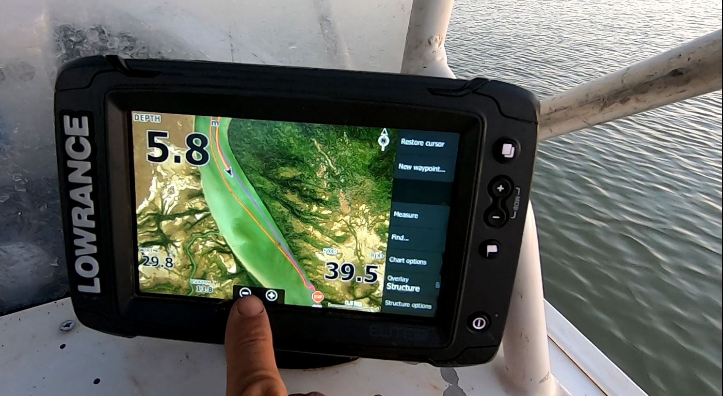
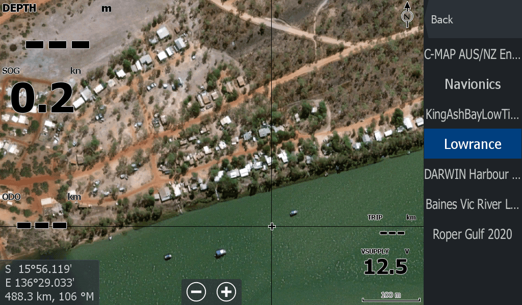
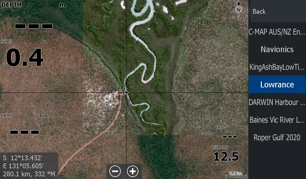
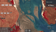
The maps you need when fishing the remote waters in the Top of Australia.
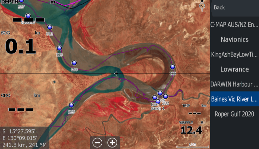
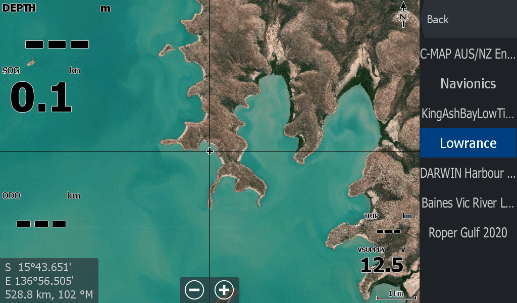
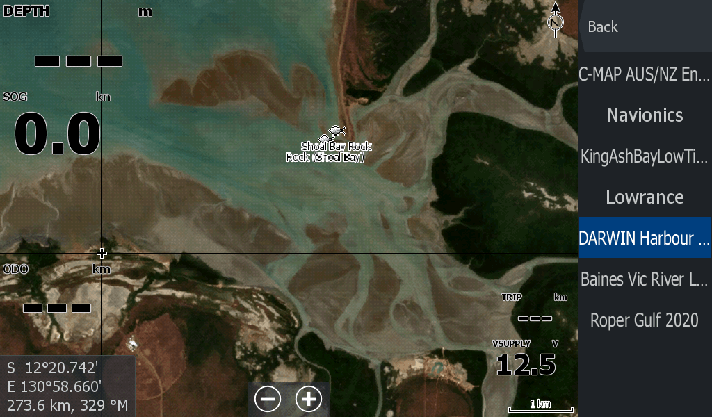
When your Lowrance Chart plotter only gives you basic information in remote areas,
and you need an extra edge to stay out of trouble.
Developed by me after getting marooned for 5 hours, 8kms from the Roper Mouth as the sun set.
These maps will cover your River system out to the mouth and nearby creeks with zoomable areas of interest.
The below link opens up in the payhip storefront site
Designed to let you see what lies beneath the muddy waters so you can lay the tracks to get you home.
The below link opens up in the payhip storefront site
As mentioned, I know that feeling when you get stuck on a mudflat 25km from camp.
The sun sets and the chart plotter has high tide tracks that cross all over sandbars. I don't want to go through that again & neither should you.
There had to be a better way to enhance the Chart Plotter on the boat to better work for the fishers of the Top Ends Remote waterways.
There is, and here are the products for you.
There is now a store to purchase specific area maps from, at affordable prices to cover my shop fees , hosting & hopefully fuel my boat.
Drag and Drop Website Builder